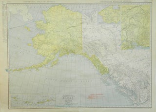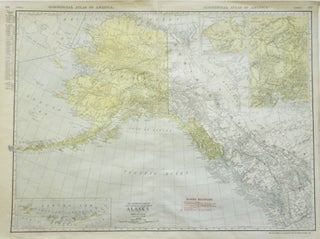
Rand McNally & Co.'s Commercial Atlas of America; New Commercial Atlas Map of Alaska [Hawaiian Islands on verso]
Rand McNally & Company, [1916]. Very Good. Later printing. [Neat line 18.875x25.75in, Sheet 20.5x27.75in]; 335-338 pp., Map of Alaska and British Columbia (44 to 66 N, 120 to 172 W), insets of Mt. McKinley District, Steward Peninsula Mining District and Aleutian Islands, red ink legend of Alaskan Railroads (United Stated..... Item #13732