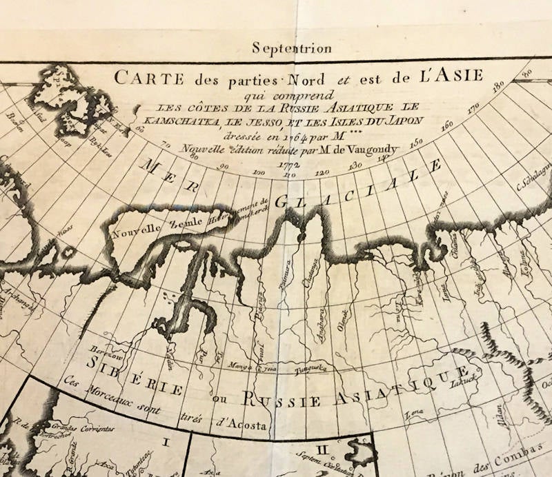
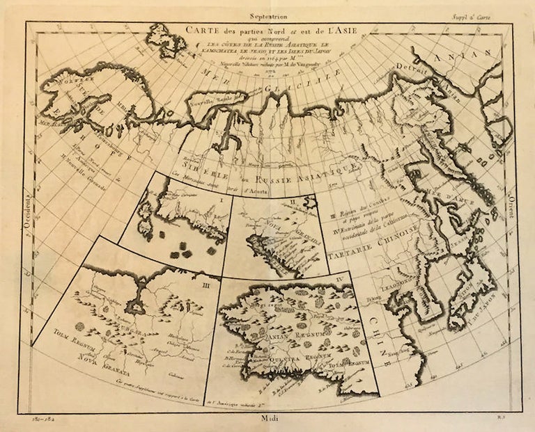
Carte des parties Nord et est de L'Asie; qui Comprend les Cotes de la Russie Asiatique le Kamschatka, le Jesso, et les Isles du Japon | dessie en 1764 par M*** | novelle edition reduite par M de Vaugoundy | 1772 Suppl 2 Carte
Livourne, France: Didier Robert de Vaugoundy, 1772-1777. Very Good. Folio, [12.5x14.25in neat lines, 17.25x21in sheet]; Title in top center with four inset maps labeled I- Partie Nord-ouest de l'Amerique, II- Nonvelle Grenade, III- Region des Conibas et pays voisins, IV- Extremites de la partie occidentale de la Californie; map covers a large area from 25 to 80 North latitude, Norway to Alaska, and 20 east to 155 west longitude China to the Arctic Circle; Copper engraving on heavy watermarked paper with pictorial relief with mountains, forests and major rivers with location grid and names, both mythical, real and related to present day; Little age toning and small spots, close -tear at bottom edge, single vertical crease fold, top right margin "Suppl 2 Carte", lower left "181-182" and right "R.S" [Wagner maps 637]. Item #13571
This map was one of a 10 map series for the Supplement to Diderot's "Encyclopédie, ou dictionnaire raisonné des sciences, des arts et des métiers" published in 1777. From Rumsey, "This series of 10 maps was prepared by Vaugondy for the Supplement to Diderot’s Encyclopédie. This seminal map series, exploring the mapping of North American and specifically the Northwest Passage was one of the first studies in comparative cartography. Philippe Buache's Considerations Geographiques Et Physiques Sur Les Nouvelles Decouvertes Au Nord de La Grande Mer Appellee Vulgairement La Mer Du Sud, published an earlier comparative cartography study of the same area.
The maps show the Northeast passage from Norway and Spitsberg Island to the Strait of Anian (Bering Strait). The focus of the map is Asiatic Russia and the far east. And it also identifies the mythical lands of Anian and Quivira Regnums. The Anian and Quivira myths relating to Marco Polo and the Spanish Conquistadors Seven Cities of Chibola.
Price: $150.00