
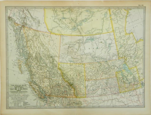
The Century Atlas | Manitoba, British Columbia and the Northwest Territories; No. 63
New York: Century Co., 1902. Near Fine. Later printing. [Neat line 10.5x15in, Sheet 11.75x16.25in]; Color map of Canada provences from west of the Hudson Bay and parts of Alaska and Northern United States (~46 to ~62 N ~92 to 140 W), single fold map from a popular atlas in the late 1800's and early 1900's; Minor age toning. Item #13729
Price: $25.00
See all items in
History
See all items by Matthew-Northrup Company