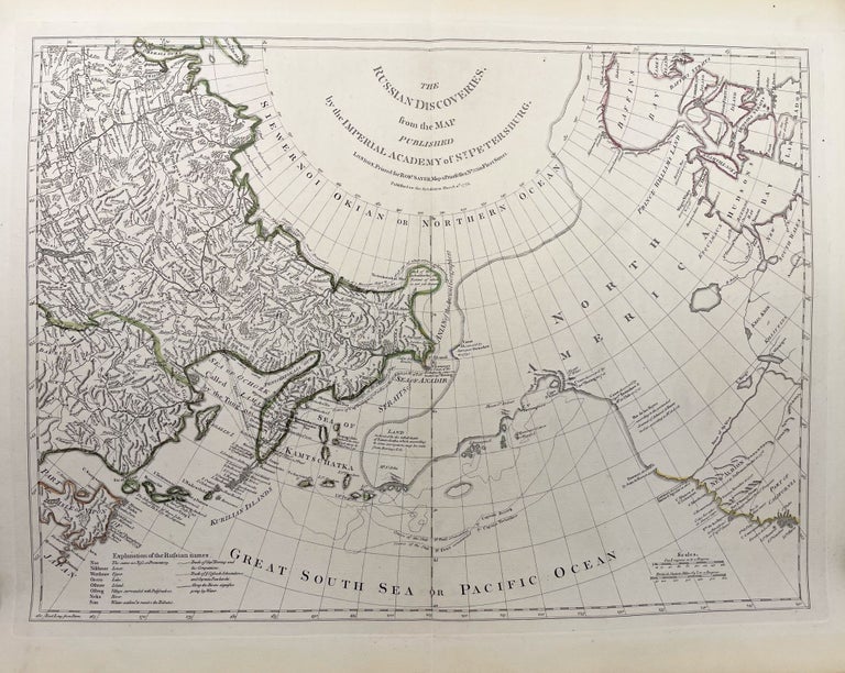
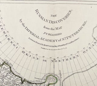
The Russian Discoveries, from the Map Published by the Imperial Academy of St. Petersburg
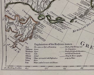
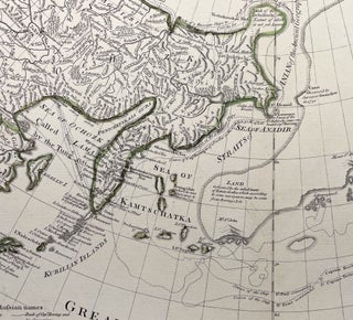
London: Robert Sayer, 1775. Very Good. Later State. Folio [17.75x24in 45x81cm neatline, 21.5x29.5in 54.2x75cm sheet] Partially colored outline of northeast Siberia and North America with tracks of Bering and Tschirikow voyages. scales in sea leagues and British miles, legend of Russian names and tracks, longitude from Ferro; A strong impression with light age toning to map edges, vertical crease line with binding trim, great detail of Siberian and Kamschatka rivers, settlements and geographical features.[Wagner NW maps 650, David Rumsey 0346.005] CS. Item #14148
This map is based on Gerhard Friedrich Muller's map for the Imperial Academy published in 1773. He based his information on various reports on the Alaskan peninsula, coastlines ane the Aleutian island chain, all prior to Cook's more accurate surveys from his Third voyage. The map was included in Thomas Jefferys, The American Atlas in 1776.
This map was from the library of the late Dr. G. Warren Smith of Pennsylvania. He had a long career as university professor and administrator, and was a collector of over 6,000 books, maps, illustrations, and artifacts relating to the Arctic, Alaska and Pacific Northwest.
Price: $800.00


