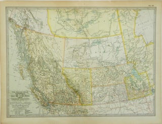
The Century Atlas | Manitoba, British Columbia and the Northwest Territories; No. 63
New York: Century Co., 1902. Near Fine. Later printing. [Neat line 10.5x15in, Sheet 11.75x16.25in]; Color map of Canada provences from west of the Hudson Bay and parts of Alaska and Northern United States (~46 to ~62 N ~92 to 140 W), single fold map from a popular atlas in the..... Item #13729